Attraction
Mapodaegyo Bridge
마포대교
Official name
About this place
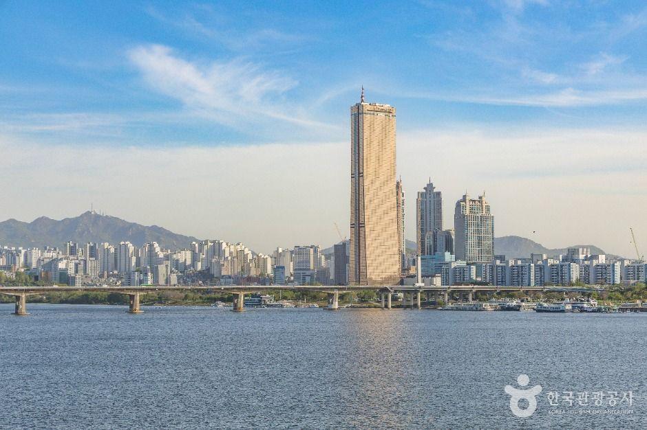
Mapo Bridge connects Mapo-gu and Yeongdeungpo-gu in Seoul. It is 1,390m long with 10 lanes in both directions combined, and was the 5th bridge built across the Han River, following Hannam Bridge. Construction began in 1968/2 and finished in 1970/5. Originally called Seoul Bridge, it was renamed Mapo Bridge in 1984. Known for its night views, its landscape lighting uses warm white as the main color to create a bright, welcoming atmosphere around the theme of comfort and healing through warm light. Clear, highly visible LED lighting makes it easy to see from nearby roads such as Gangbyeonbuk-ro and Olympic-daero. Colors similar to those at Yeouido Hangang Park help it blend with the surroundings. At night, lights on the Han River bridges complement the sightseeing boats gliding along the river, creating a beautiful scene. ✨AI
- Address
- Yeouido-dong, Yeongdeungpo-gu, Seoul ✨AI
- Korean address
- 서울특별시 영등포구 여의도동
- Opening hours
- Always open
- Closed days
- Open all year